
Crossing the Alps from Salzburg to Trieste: Route, experiences and GPS (28 days)
- Apr 15
- 6 min read
28 days, four countries, 500 kilometers, 24,500 meters of altitude, three national parks and one destination: the sea.

The Alpine crossing from Salzburg to Trieste is still considered a hidden gem.
– lonely, wild and significantly less frequented than other routes.
We set off on our journey, hiked through rain and sun, doubted, laughed, and grew a little bit beyond ourselves every day somewhere between the mountains and the Adriatic Sea.
Here you will find a compact overview of the entire route, our experiences and the GPS data for each week.
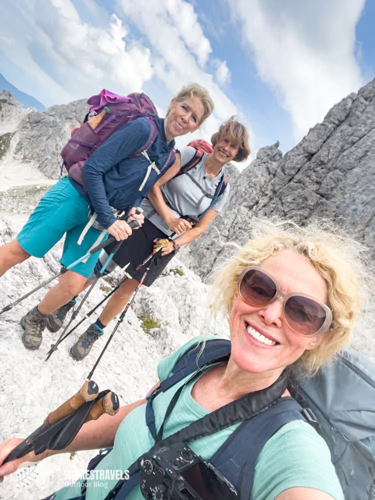
Week 1 (Stages 1–7): From Salzburg to the Statzerhaus

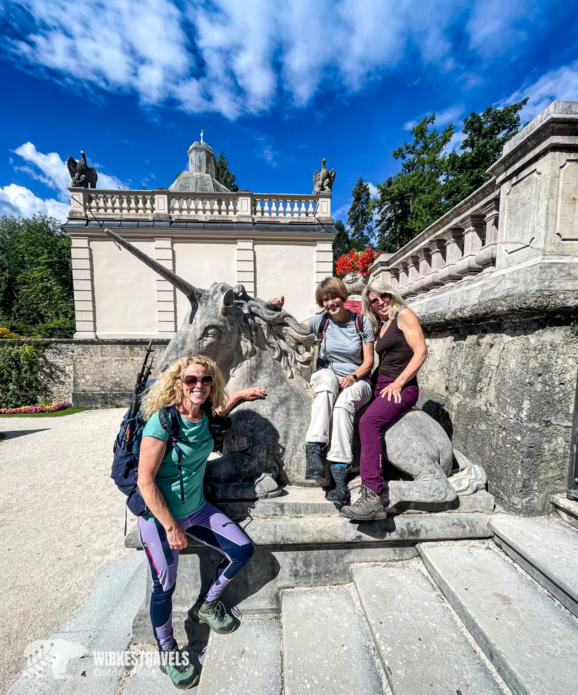
The Alpine crossing starts in the old town of Salzburg.
We set off in bright sunshine – unaware that we would be seeing the sun for the last time for the next six days.
The trail leads through challenging terrain up to the Zeppezauerhaus on the very first day . It's the last time we'll pass through any major towns. From now on, it will be lonely and wet!
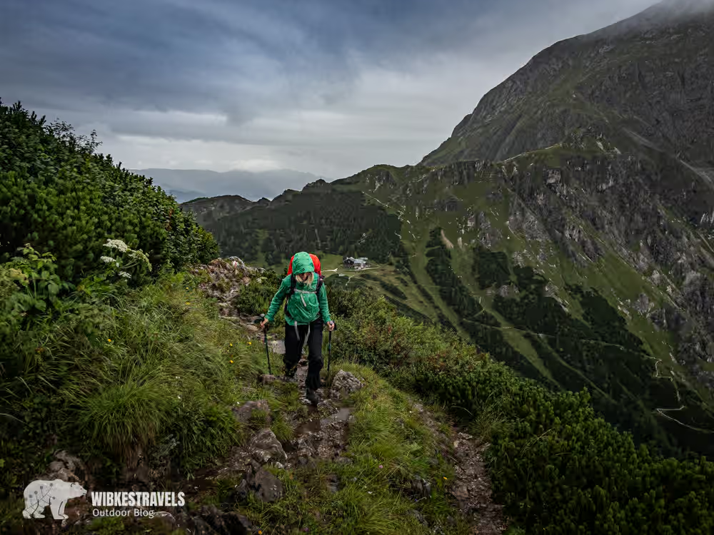
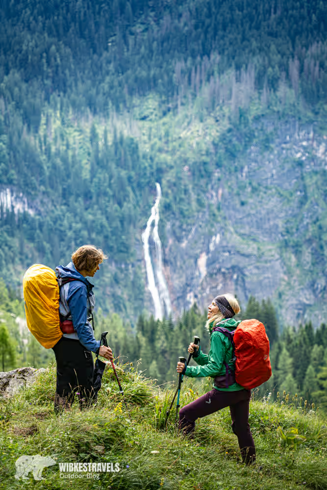
We usually only catch glimpses of the famous Königssee and the Berchtesgaden National Park, with Germany's largest waterfall, during brief breaks in the rain. But the bad weather also has an advantage: the trails are deserted.
Instead of people, we encounter marmots, chamois, red deer and alpine salamanders.
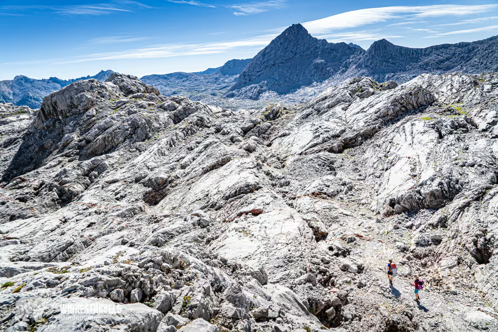
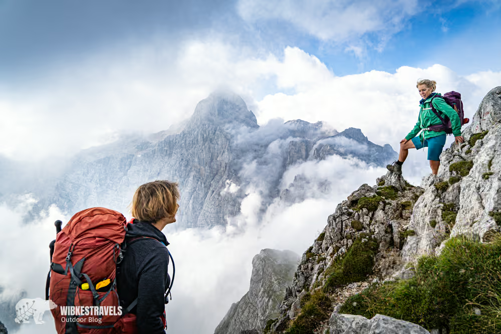
Above Lake Königssee, the route leads through the national park to the Steinernes Meer (Sea of Stones) . On the sixth day, something happens that we had almost given up hope of: sunshine. We are awakened by rosy morning light at the Ingolstädter Haus . Still in our pajamas, we stand on the terrace and gaze at the glowing red mountains. The Steinernes Meer seems surreal. Wind and weather have sculpted the rocks like waves – a barren, almost unreal landscape.
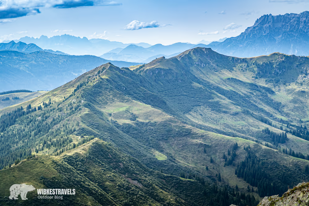
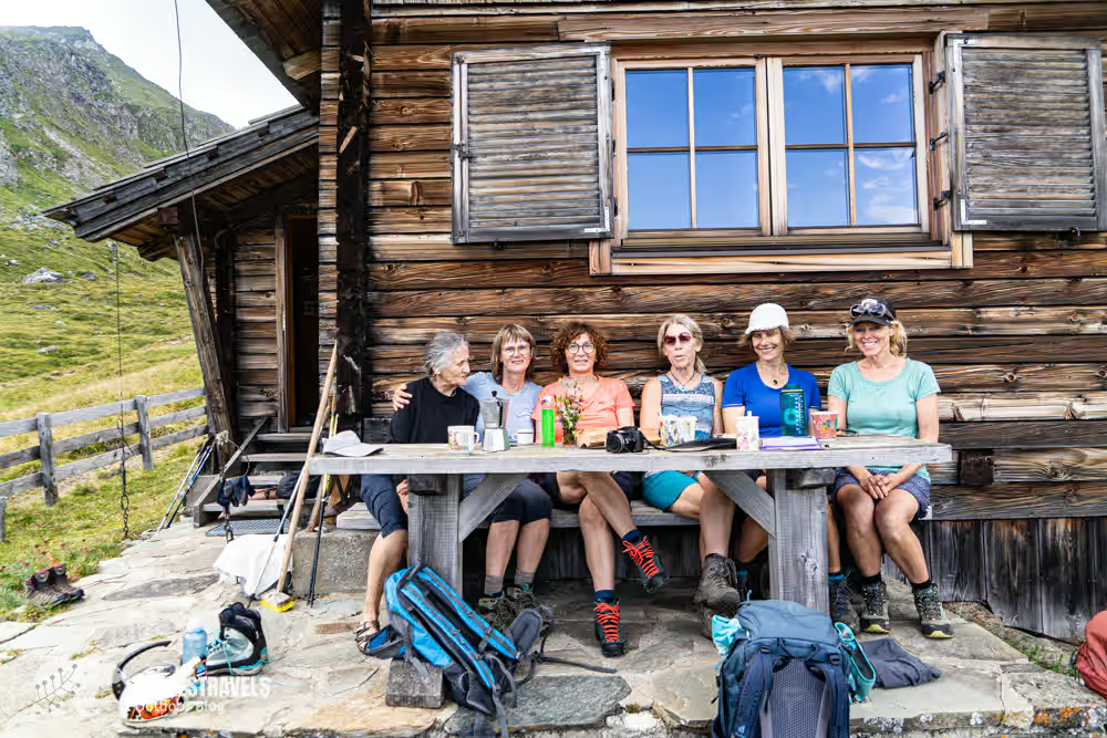
From Maria Alm, the route continues into the Salzburg Slate Alps. A scenic ridge path leads from the Schwalbenwand to the Hundstein. The Statzerhaus stands on the summit , offering a spectacular 360-degree panoramic view.
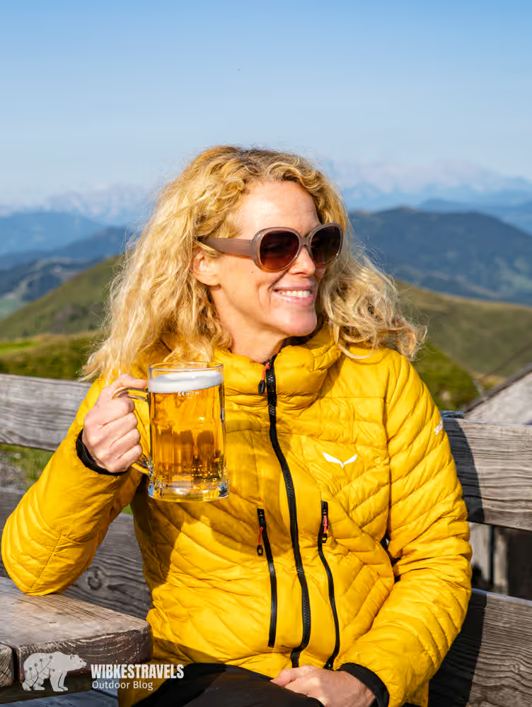
Cheers to the first week in the Alps.
You can find the GPS data for the first week here on Outdooractive .
Click on the first image to start the photo gallery with description:
Week 2 (Stages 8–14): From Statzerhaus to Greifenburg
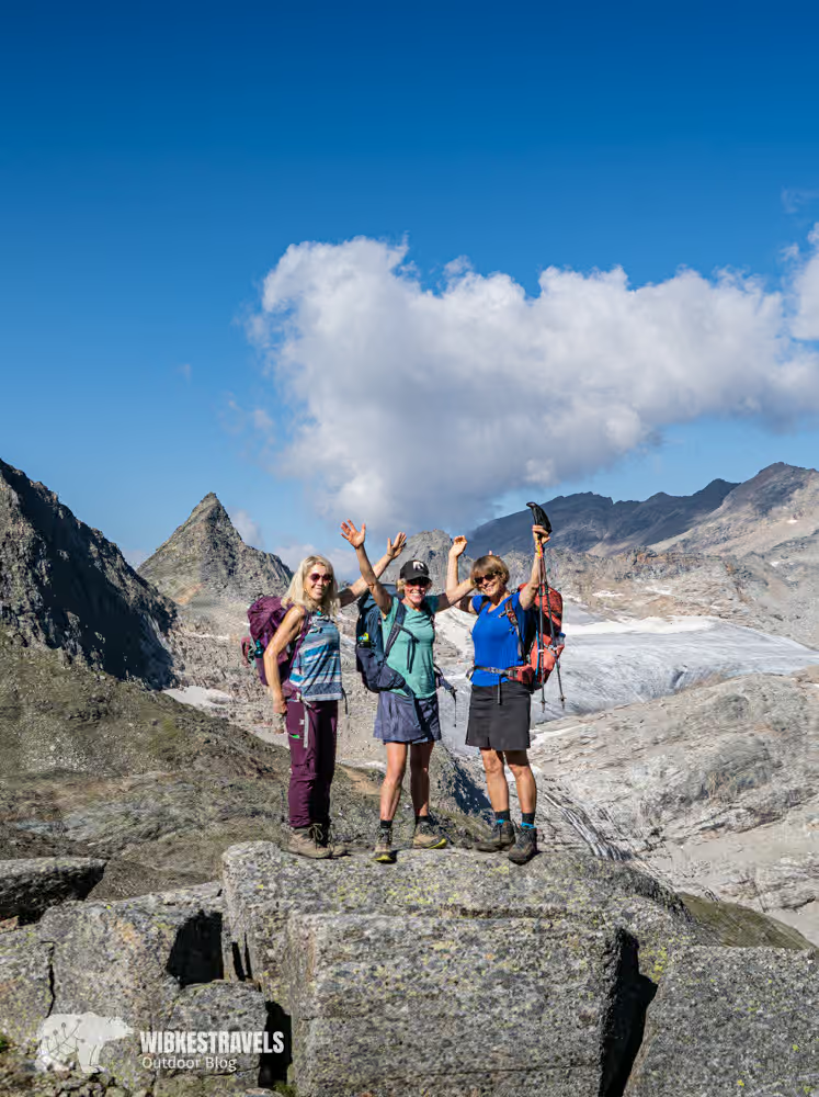
The second week is physically demanding. Longer stages, more elevation gain, fewer breaks.
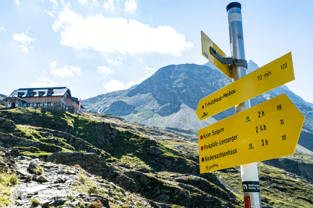
On the tenth day, we reach the Fraganter Scharte (2754 m), the highest point of the entire Alpine crossing. From here, we have a view of Austria's most majestic peaks: Großglockner, Großvenediger, and Hoher Sonnblick.

The long descent is unexpectedly sweetened – an alpine herdswoman welcomes us with coffee and cookies.
Brad Pitt is even said to have spent seven years in Tibet on the Großer Sadnig . The view into the valley is indeed reminiscent of Shangri-La: green meadows, sparkling streams, and absolute solitude.
We continue our ascent through the Staller Valley into the Kreuzberg Group.
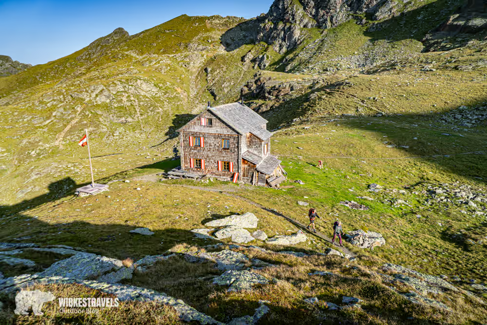
There we find our new favorite accommodation: the Hugo-Gerbers-Hütte.
It is run by volunteers and is located far from mass tourism.
At sunset, we sit on a bench with a few other hikers, eat freshly cooked curry and toast to this moment.
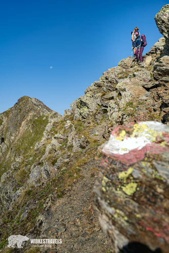
The next day brings another highlight: the ridge trail to the Feldner Hütte . A panoramic path with views in all directions.
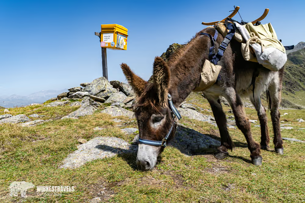
On our descent, we encounter Anton the postal donkey at Austria's highest-altitude postbox. He patiently lets us pet him – and then carries our postcards down to the valley.
You can find the GPS data for week 2 here on Outdooractive .
Click on the first image to start the photo gallery with description:
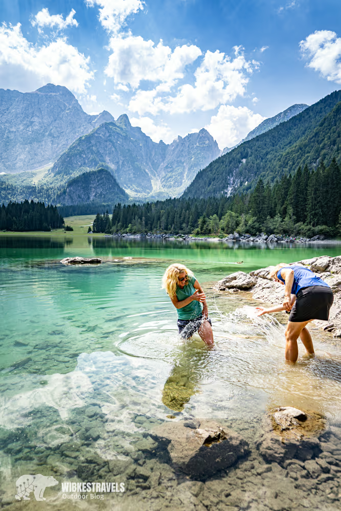
Week 3 (Stages 15–21): From Greifenburg to Koča na Doliču
In the third week, we reach the most challenging part of the Alpine crossing. The route leads from Austria through Italy to Slovenia – from the Gailtal Alps across the Carnic Alps to the Julian Alps.

From here on, the terrain becomes alpine.
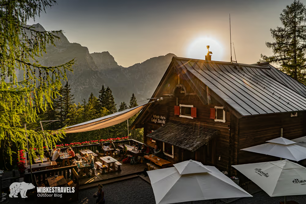
From the Italian Rifugio Zacchi, we cross the border into Slovenia at the La Porticina pass. While the paths in Italy are well marked, the onward route is partially covered in scree.
Only in the valley of Triglav National Park does orientation become easier again. At the Dom v Tamarju mountain hut , we can enjoy bratwurst and beer – and the typical red Slovenian trail markers reliably guide us onward.
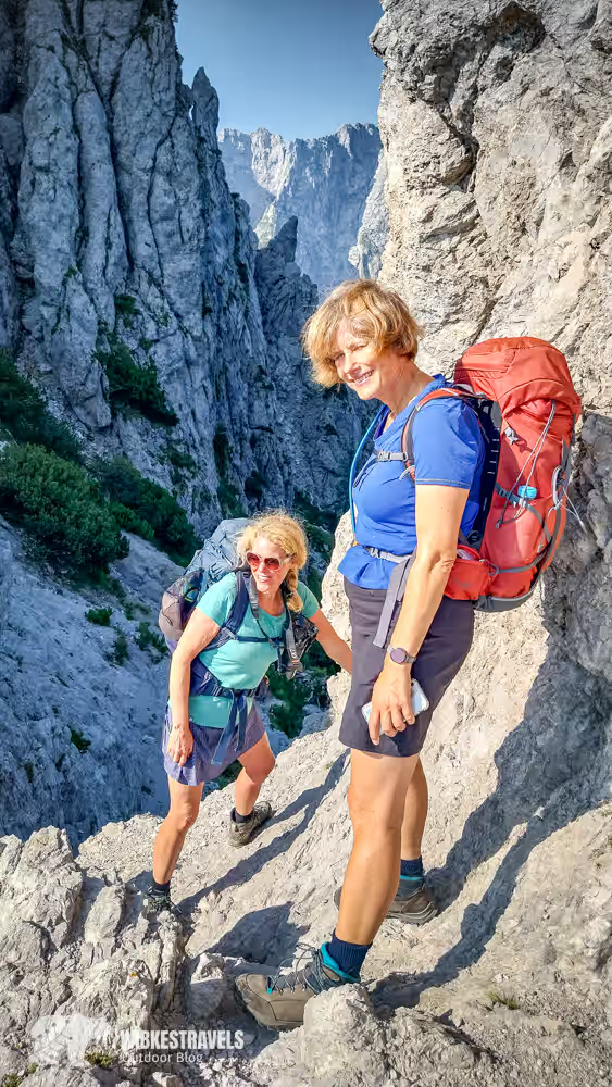
The stages around the Vršič Pass are the most technically challenging. Climbing sections are secured with wire ropes and iron rungs.
The climb through the Razor-Prisojnik group is particularly impressive.
From below, the rock face appears insurmountable. But along the narrow paths, spectacular views of the Julian Alps open up – observed by curious ibex.
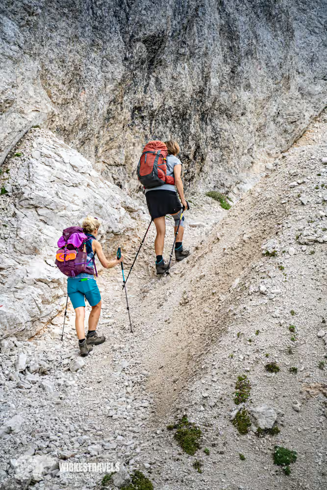
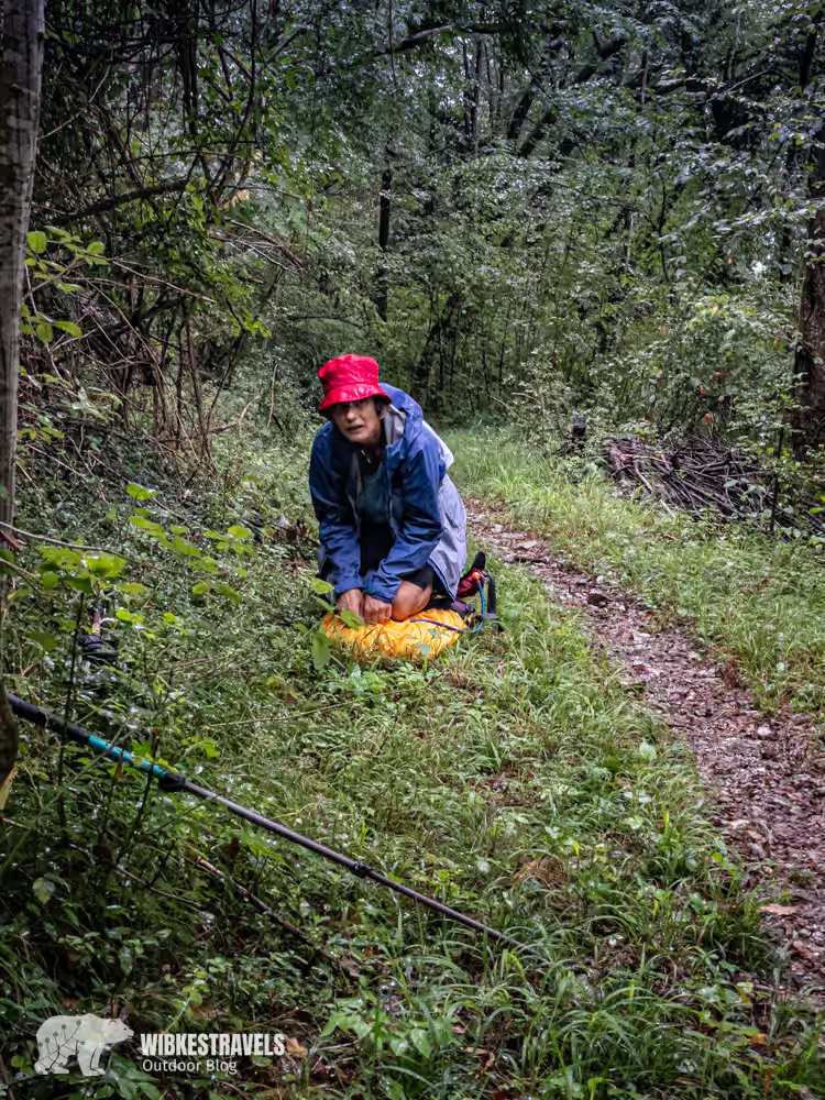
The climbing sections are manageable for us. We're more worried about the weather.
Every morning we set off at dawn to get ahead of the predicted thunderstorms. There are no breaks. Only in the safety of the mountain huts can we breathe a sigh of relief.
However, the next challenge awaits there: the hearty Slovenian cuisine – not always easy for vegetarians.
You can find the GPS data for week 3 here on Outdooractive .
Click on the first image to start the photo gallery with description:

Week 4 (Stages 22–28): From Koča na Doliču to Trieste
The goal is within reach.
The last few stages feel almost like la dolce vita . Although we're still walking over 20 kilometers a day, the elevation gain is significantly reduced.

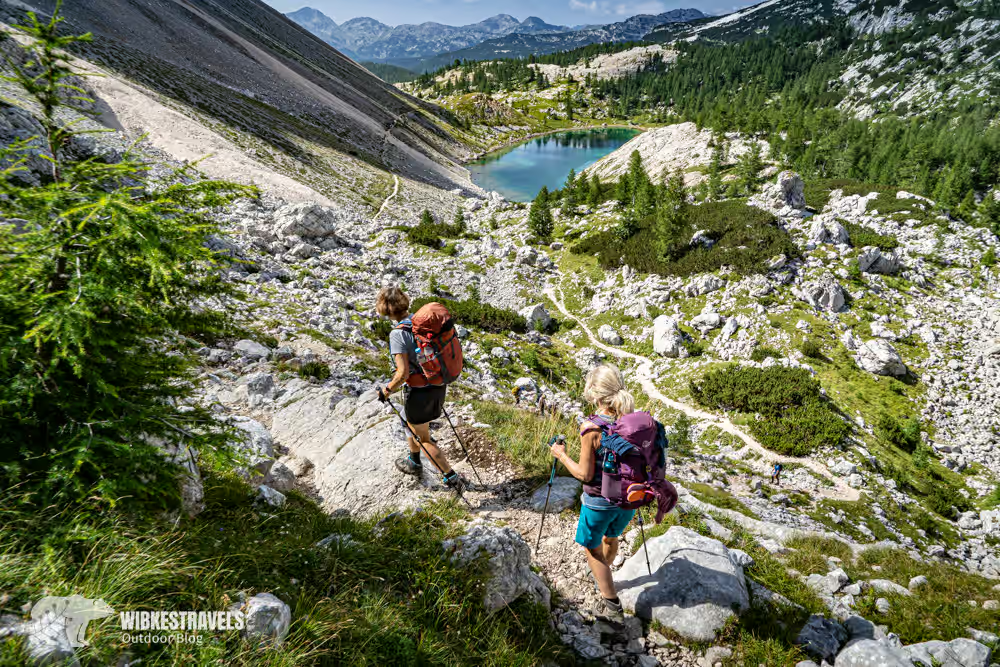
From Koča na Doliču, the trail leads through the valley of the Triglav lakes to the last mountain hut, Dom na Komni . From our room, we have a view of Lake Bohinj.
Afterwards, the route leads through forests to the Tolmin Gorges , the southernmost access to Triglav National Park.
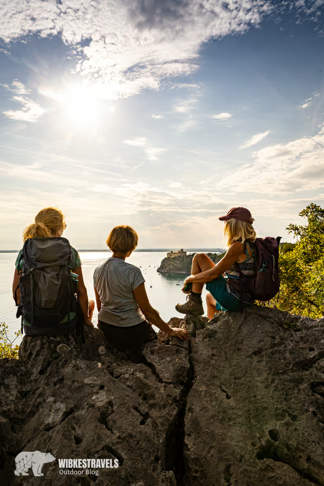
The last few days have taken us through vineyards and Mediterranean landscapes. Rainer Maria Rilke himself raved about the view of the sea from Duino .
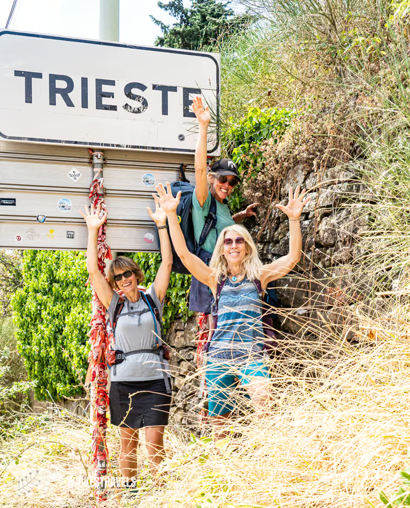
A few kilometers of asphalt still separate us from our destination. Then the path becomes spectacular again: above the cliffs, overlooking the Adriatic Sea, we walk towards Trieste .
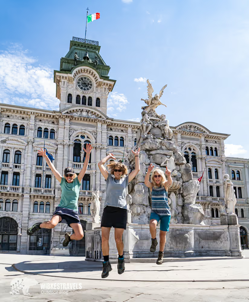
The grand finale: the Piazza dell'Unità d'Italia .
We toast with Limoncello Spritz, eat pizza and jump into the Adriatic Sea.
We made it.
What initially seemed impossible is now behind us. We are exhausted, happy – and a little wistful.
When we asked Christof Herrmann, the route's developer, before the tour why one should cross the Alps, he replied:
"If you've walked through the Alps to the sea – what else could possibly happen to you?"
You can find the GPS data for last week here on Outdooractive.
Click on the first image to start the photo gallery with description:
Everything you need to know: Information about crossing the Alps from Salzburg to Trieste
The Alpine crossing from Salzburg to Trieste was developed by Christof Herrmann, who has hiked the route himself several times. On his website you will find detailed planning tips, packing lists, route variations, and information on hut reservations.

Route variations
Not everyone has four weeks at a time to complete the entire Alpine crossing. Since the route regularly crosses valleys, it's easily possible to hike individual sections or divide the tour into several stages.
Arrival
The easiest way to get there is by train.
Outbound journey: Salzburg is well connected and easily accessible.
Return journey: Night train from Trieste with a change in Udine, e.g. to Stuttgart
Literature & Planning
A helpful companion for the tour is the Rother hiking guide:
Rother Hiking Guide: Crossing the Alps Salzburg–Trieste
Best time to travel
The best time to cross the Alps is between the beginning of July and mid-September . During this period, the mountain huts are open and the probability of snow at higher altitudes is low.
Weather
The weather in the Alps can change quickly. Especially before challenging stages, you should always check the current weather conditions:
Requirements
The tour is physically and technically demanding:
an average of 20 km per day
approximately 1,000 meters of elevation gain and loss
Approximately 7 hours of walking time daily
Some stages require:
alpine experience
good orientation
absolute sure-footedness
No fear of heights
equipment
A well-thought-out packing list is crucial. The basic principle is: as much as necessary, as little as possible . Too much weight makes the tour unnecessarily strenuous, while too little equipment can quickly become uncomfortable.
Accommodation
Those who follow the route as described in the Rother hiking guide will stay overnight:
14 nights in the valley (including Salzburg and Trieste)
15 nights in mountain huts
Smaller mountain huts are often booked up well in advance – so planning ahead is essential. Members of alpine clubs usually receive discounts.
Reservation options:
Catering
Breakfast and dinner are usually offered at the mountain huts. Shopping opportunities are mainly available in the valleys along the route.


Comments