
Hike to Sheep Creek in Kluane National Park in Yukon/Canada
- Jul 3, 2025
- 3 min read
Rushing rivers, wild bears, high mountains, massive glaciers, and plenty of untouched nature. Kluane National Park in Yukon, Canada, is a park of superlatives.

In the next blogs I will tell you about my favorite hikes.
The UNESCO-designated
"Empire of Mountains and Ice"
Kluane National Park & Reserve, also known as the "Kluane National Park", with the largest ice fields outside the poles stretches south of the Alaska Hwy to the border with Alaska. This is where three more superlatives meet. Firstly, Mount Logan is the highest mountain in Canada at 5,959 metres , secondly the turquoise-blue Kluane Lake is the largest lake in the Yukon and thirdly the largest grizzly population in the country lives between the park boundaries . Together with Tatshenshini-Alsek Provincial Park in the south in British Columbia and Wrangell-St. Elias National Park in the west it forms one of the largest nature reserves in the world. Beyond the mountains that can be seen from the Alaska Hwy lie over 200 glaciers , about half of which don't even have a name. The only way to get really close to them is on a scenic flight or on hikes.
Click on the first image to start the photo gallery
Here is the first of my favorite hikes:
In search of the Dall sheep
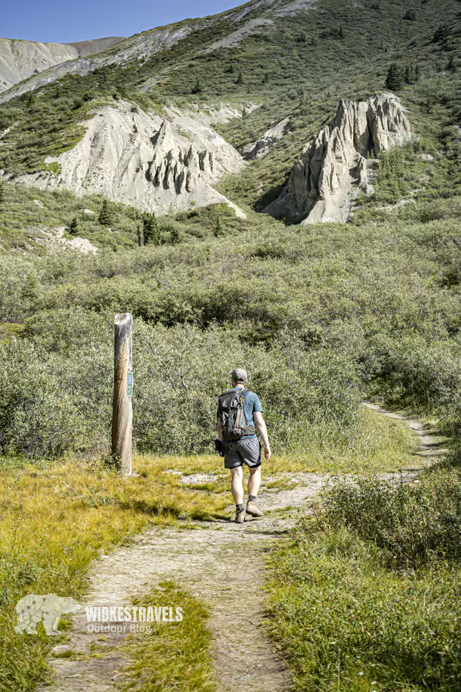
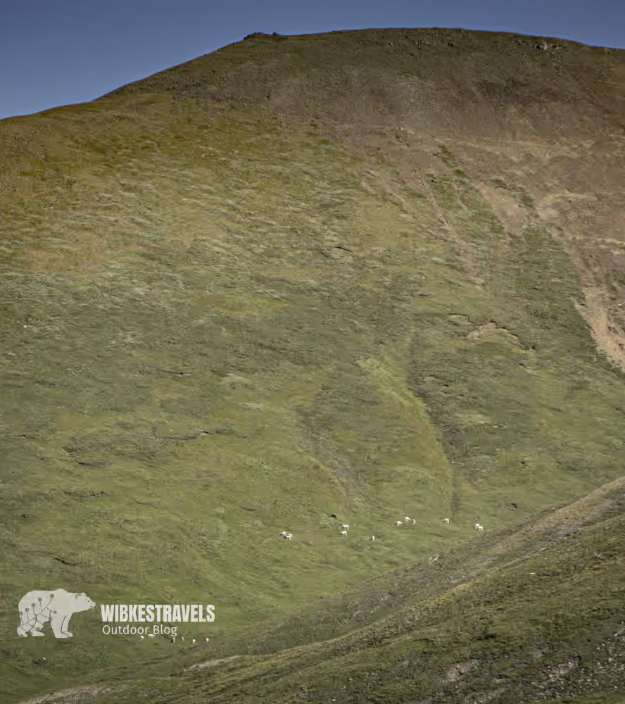
The popular hike in Kluane National Park in Yukon, Canada , leads along Thechàl Dhâl to Sheep Creek . It offers magnificent views of the Slims River Valley. This is an excellent way to observe Dall sheep in the spring , as they typically stay at lower elevations. Kluane Lake, the Ruby Range, the Highway Corridor, Mt. Wallace, the Kluane Plateau, Outpost Mountain, the Sheep-Bullion Plateau, and Red Castle Ridge— the wonderful world of Kluane National Park lies at your feet.
Sheep Creek Kluane Canada National Park Hike Yukon
Key Facts about the hike to Sheep Creek in Kluane National Park, Yukon/Canada

♡ Factor: ♡♡♡♡♡
Walking time : 7:15 h
Altitude : 1,014 m up and down
Length : 18.1 km
Accessible by public transport?
No.
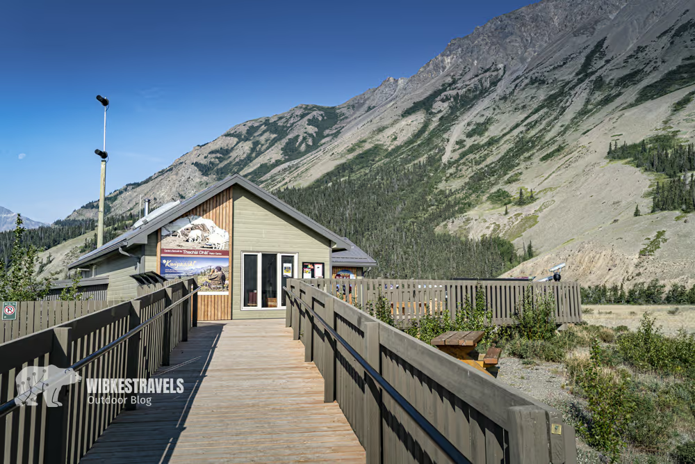
Directions: Thechàl Dhâl (Sheep Mountain) hikers' car park, from the Thechàl Dhâl Visitor Centre 2.6 km up the Ä'äy Chù (Slims River) valley.
GPS data: I have uploaded the GPS data for the hike to the Outdoor Active website
Starting and ending point: Thechàl Dhâl (Sheep Mountain) hiking car park,
Safety note: Canada is a bear country. In my blog post " Hiking and Camping Safely in Bear Country Canada, " you'll find tips on how to avoid the bear and what to do if you do encounter one.
Gear: For this hike, I recommend hiking boots or trail running shoes. Hiking poles can also be helpful. Rain gear, warm clothing, and bear spray are a must in Canada.
Further information and links: General information on accommodation and activities can be found on the website of Travel Yukon to find.
Current information on the condition of the hiking trails can be found on the Parcs Canada website .
Please DO NOT descend the south face of the mountain , as this is an important winter habitat for Dall sheep in this area and the vegetation is easily destroyed. The descent via the front face is also steep and dangerous (rockfall and rockslide).
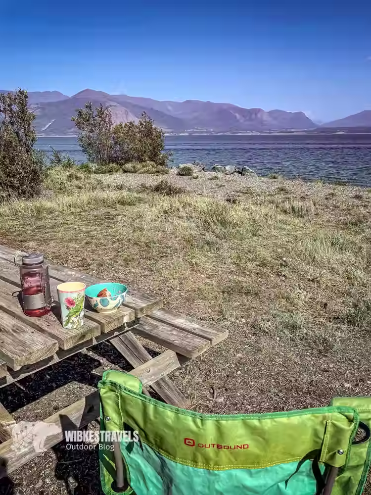
The Congdon Creek Campground at Kluane Lake is beautifully situated and not far from this hike. Here, you can camp behind a wire fence, protected from bears.
In my blog post " Plan your adventure in Canada" you will find the best tips for travel planning, including booking a rental car and reserving campsites.


Comments